 vesseltracker.com
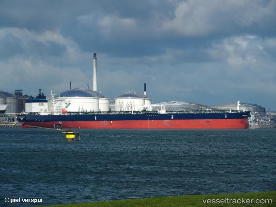
 MARLIN SOMERSET
Current Status
Where is the vessel?
MARLIN SOMERSET is currently in 21 nm W of Cape Of Good Hope, based on AIS data received about 2h ago.
Latest AIS update:
Current position: 34.40194° S, 17.95354° E (21 nm W of Cape Of Good Hope)
Average speed (last 7 days): Loading…
Average speed (last 30 days): Loading…
Vessel profile: MARLIN SOMERSET is a Crude Oil Tanker with dimensions 274m x 48m.
This page combines live AIS, route history, probable destination signals, nearby traffic, and port activity for practical vessel monitoring.
The current position of vessel MARLIN SOMERSET is -34.40194 lat / 17.95354 lng. Updated: 2026-04-18 19:21:38 UTCNearest reference points:
- 18 nm SW of Cape Of Good Hope
- Near HOUT BAY
- 12 nm W of ROBBEN ISLAND
Currently sailing under the flag of Marshall Islands ![]()
MARLIN SOMERSET built in 2019 year
Deadweight:
156620 tDetails:
Live Vessel MARLIN SOMERSET Analytics (details, animations, etc.)
Recent AIS points (UTC):
2026-04-18 13:53:18 UTC · -35.02356, 18.67271 · SOG 9.6 kn · COG 298°2026-04-18 16:21:28 UTC · -34.80453, 18.28659 · SOG 8.4 kn · COG 285°
2026-04-18 17:27:48 UTC · -34.72330, 18.10696 · SOG 9.8 kn · COG 294°
2026-04-18 19:21:38 UTC · -34.40194, 17.95354 · SOG 11.8 kn · COG 359°