 vesseltracker.com
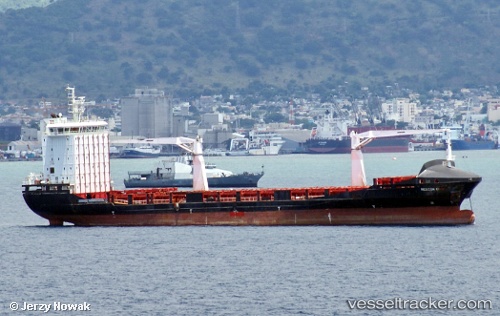
Vessel Alexandra A IMO: 9356684, MMSI: 256589000 General Cargo Ship
UTC, 40.96167, 28.67257, course: 356, speed: 0
UTC, 40.83418, 28.63369, course: 211, speed: 10.2
2026-03-05 03:25:19 UTC, 40.74785, 28.53334, course: 190, speed: 0.3
Live Vessel Alexandra A Analytics (details, animations, etc.)
Live AIS position: UTC. 15 nm SW of Ambarli), updated 2026-03-05 03:25:19 UTC.Find the position of the vessel Alexandra A on the map. The latter are known coordinates and path.
marine traffic ship tracker show on live map
The current position of vessel Alexandra A is 40.74785 lat / 28.53334 lng. Updated: 2026-03-05 03:25:19 UTCCurrently sailing under the flag of Malta
Alexandra A built in 2011 year
Deadweight:
12099 tDetails:
Last coordinates of the vessel:
UTC, 40.96171, 28.67256, course: 356, speed: 0.1UTC, 40.96167, 28.67257, course: 356, speed: 0
UTC, 40.83418, 28.63369, course: 211, speed: 10.2
2026-03-05 03:25:19 UTC, 40.74785, 28.53334, course: 190, speed: 0.3