 vesseltracker.com
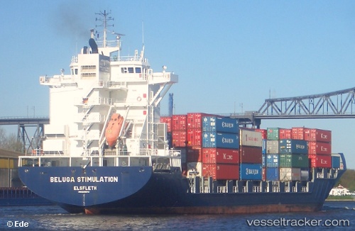
Vessel Martha A IMO: 9299484, MMSI: 271044070 Container Ship
UTC, 31.19051, 29.87267, course: 128, speed: 0
UTC, 31.19048, 29.87261, course: 128, speed: 0
2026-03-04 22:27:58 UTC, 31.19047, 29.87262, course: 128, speed: 0
Live Vessel Martha A Analytics (details, animations, etc.)
Live AIS position: UTC. Near Alexandria), updated 2026-03-04 22:27:58 UTC.Find the position of the vessel Martha A on the map. The latter are known coordinates and path.
marine traffic ship tracker show on live map
The current position of vessel Martha A is 31.19047 lat / 29.87262 lng. Updated: 2026-03-04 22:27:58 UTCCurrently sailing under the flag of Turkey
Martha A built in 2005 year
Deadweight:
33796 tDetails:
Last coordinates of the vessel:
UTC, 31.19055, 29.87268, course: -1, speed: 0UTC, 31.19051, 29.87267, course: 128, speed: 0
UTC, 31.19048, 29.87261, course: 128, speed: 0
2026-03-04 22:27:58 UTC, 31.19047, 29.87262, course: 128, speed: 0