 vesseltracker.com
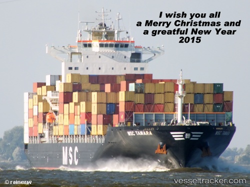
Vessel Msc Tamara IMO: 9351579, MMSI: 354745000 Container Ship
UTC, 9.58668, 107.33354, course: 42, speed: 10.7
UTC, 9.79168, 107.36075, course: 356, speed: 1.6
2026-03-05 16:05:16 UTC, 9.78929, 107.24882, course: 330, speed: 2.3
Live Vessel Msc Tamara Analytics (details, animations, etc.)
Live AIS position: UTC. 35 nm S of Cape St. Jacques), updated 2026-03-05 16:05:16 UTC.Find the position of the vessel Msc Tamara on the map. The latter are known coordinates and path.
marine traffic ship tracker show on live map
The current position of vessel Msc Tamara is 9.78929 lat / 107.24882 lng. Updated: 2026-03-05 16:05:16 UTCCurrently sailing under the flag of Panama
Msc Tamara built in 2008 year
Deadweight:
50446 tDetails:
Last coordinates of the vessel:
UTC, 9.14343, 107.08661, course: 25, speed: 17.5UTC, 9.58668, 107.33354, course: 42, speed: 10.7
UTC, 9.79168, 107.36075, course: 356, speed: 1.6
2026-03-05 16:05:16 UTC, 9.78929, 107.24882, course: 330, speed: 2.3