 vesseltracker.com
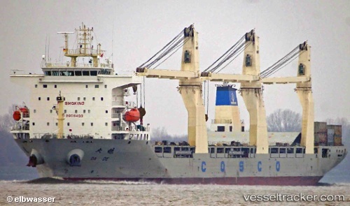
Vessel Da De IMO: 9608403, MMSI: 413478240 Multi Purpose Carrier
UTC, 10.99747, 138.85266, course: 344, speed: 12.2
UTC, 10.99747, 138.85266, course: 344, speed: 12.2
2026-03-05 00:18:42 UTC, 12.56106, 138.22835, course: 341, speed: 12
Live Vessel Da De Analytics (details, animations, etc.)
Live AIS position: UTC. 180 nm N of Palau), updated 2026-03-05 00:18:42 UTC.Find the position of the vessel Da De on the map. The latter are known coordinates and path.
marine traffic ship tracker show on live map
The current position of vessel Da De is 12.56106 lat / 138.22835 lng. Updated: 2026-03-05 00:18:42 UTCCurrently sailing under the flag of China
Details:
Last coordinates of the vessel:
UTC, 10.99747, 138.85266, course: 344, speed: 12.2UTC, 10.99747, 138.85266, course: 344, speed: 12.2
UTC, 10.99747, 138.85266, course: 344, speed: 12.2
2026-03-05 00:18:42 UTC, 12.56106, 138.22835, course: 341, speed: 12