 vesseltracker.com
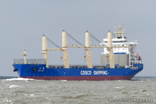
Vessel Tian Hui IMO: 9774599, MMSI: 413493080 General Cargo Ship
UTC, -34.11319, 27.19840, course: 248, speed: 16.7
UTC, -34.24465, 26.71406, course: 263, speed: 17
2026-03-04 17:51:28 UTC, -34.40805, 26.14090, course: 261, speed: 16.5
Live Vessel Tian Hui Analytics (details, animations, etc.)
Live AIS position: UTC. 35 nm SE of Summerstrand), updated 2026-03-04 17:51:28 UTC.Find the position of the vessel Tian Hui on the map. The latter are known coordinates and path.
marine traffic ship tracker show on live map
The current position of vessel Tian Hui is -34.40805 lat / 26.14090 lng. Updated: 2026-03-04 17:51:28 UTCCurrently sailing under the flag of China
Details:
Last coordinates of the vessel:
UTC, -33.80353, 27.96041, course: 248, speed: 16.8UTC, -34.11319, 27.19840, course: 248, speed: 16.7
UTC, -34.24465, 26.71406, course: 263, speed: 17
2026-03-04 17:51:28 UTC, -34.40805, 26.14090, course: 261, speed: 16.5