 vesseltracker.com
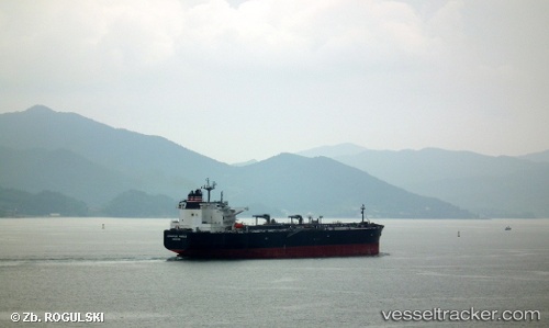
Vessel SAFEEN ELONA IMO: 9488011, MMSI: 538010608 Crude Oil Tanker
UTC, 43.90116, -8.55799, course: 68, speed: 12.2
UTC, 43.96981, -7.94289, course: 87, speed: 12.6
2026-03-05 02:37:55 UTC, 43.96457, -7.28219, course: 101, speed: 13.1
Live Vessel SAFEEN ELONA Analytics (details, animations, etc.)
Live AIS position: UTC. 17 nm N of San Ciprian), updated 2026-03-05 02:37:55 UTC.Find the position of the vessel SAFEEN ELONA on the map. The latter are known coordinates and path.
marine traffic ship tracker show on live map
The current position of vessel SAFEEN ELONA is 43.96457 lat / -7.28219 lng. Updated: 2026-03-05 02:37:55 UTCCurrently sailing under the flag of Marshall Islands
SAFEEN ELONA built in 2012 year
Deadweight:
105258 tDetails:
Last coordinates of the vessel:
UTC, 43.68348, -9.13669, course: 65, speed: 11.8UTC, 43.90116, -8.55799, course: 68, speed: 12.2
UTC, 43.96981, -7.94289, course: 87, speed: 12.6
2026-03-05 02:37:55 UTC, 43.96457, -7.28219, course: 101, speed: 13.1