 vesseltracker.com
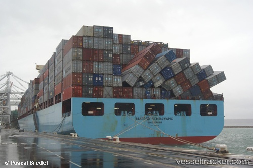
Vessel Maersk Sembawang IMO: 9315226, MMSI: 565448000 Container Ship
UTC, 36.30092, -25.77845, course: 111, speed: 12.2
UTC, 36.14006, -25.11209, course: 98, speed: 11.7
2026-03-05 14:34:43 UTC, 36.11695, -24.54970, course: 90, speed: 11.9
Live Vessel Maersk Sembawang Analytics (details, animations, etc.)
Live AIS position: UTC. 57 nm SE of Villa Do Porto), updated 2026-03-05 14:34:43 UTC.Find the position of the vessel Maersk Sembawang on the map. The latter are known coordinates and path.
marine traffic ship tracker show on live map
The current position of vessel Maersk Sembawang is 36.11695 lat / -24.54970 lng. Updated: 2026-03-05 14:34:43 UTCDetails:
Last coordinates of the vessel:
UTC, 36.36502, -25.88905, course: 101, speed: 1.3UTC, 36.30092, -25.77845, course: 111, speed: 12.2
UTC, 36.14006, -25.11209, course: 98, speed: 11.7
2026-03-05 14:34:43 UTC, 36.11695, -24.54970, course: 90, speed: 11.9