 vesseltracker.com
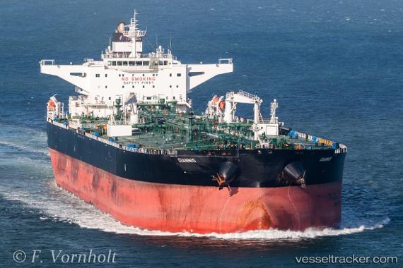
Vessel Giannis IMO: 9432050, MMSI: 636014501 Crude Oil Tanker
UTC, 33.82049, 25.94258, course: 288, speed: 11.4
UTC, 33.91892, 25.56634, course: 292, speed: 12.6
2026-03-05 05:47:10 UTC, 34.06773, 25.03688, course: 218, speed: 11.1
Live Vessel Giannis Analytics (details, animations, etc.)
Live AIS position: UTC. 53 nm S of Kali Limenes), updated 2026-03-05 05:47:10 UTC.Find the position of the vessel Giannis on the map. The latter are known coordinates and path.
marine traffic ship tracker show on live map
The current position of vessel Giannis is 34.06773 lat / 25.03688 lng. Updated: 2026-03-05 05:47:10 UTCCurrently sailing under the flag of Liberia
Giannis built in 2011 year
Deadweight:
149999 tDetails:
Last coordinates of the vessel:
UTC, 33.65763, 26.57015, course: 285, speed: 11.5UTC, 33.82049, 25.94258, course: 288, speed: 11.4
UTC, 33.91892, 25.56634, course: 292, speed: 12.6
2026-03-05 05:47:10 UTC, 34.06773, 25.03688, course: 218, speed: 11.1