 vesseltracker.com
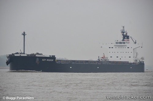
Vessel Blue Ridge IMO: 9518177, MMSI: 636018730 Bulk Carrier
UTC, 12.99833, -58.71667, course: -1, speed: 9
UTC, 12.90333, -58.55667, course: -1, speed: 9
2026-03-05 11:26:20 UTC, 12.74667, -58.28333, course: -1, speed: 9
Live Vessel Blue Ridge Analytics (details, animations, etc.)
Live AIS position: UTC. 71 nm E of Sam Lords Castle), updated 2026-03-05 11:26:20 UTC.Find the position of the vessel Blue Ridge on the map. The latter are known coordinates and path.
marine traffic ship tracker show on live map
The current position of vessel Blue Ridge is 12.74667 lat / -58.28333 lng. Updated: 2026-03-05 11:26:20 UTCDetails:
Last coordinates of the vessel:
UTC, 13.26129, -59.14695, course: 117, speed: 10.4UTC, 12.99833, -58.71667, course: -1, speed: 9
UTC, 12.90333, -58.55667, course: -1, speed: 9
2026-03-05 11:26:20 UTC, 12.74667, -58.28333, course: -1, speed: 9