 vesseltracker.com
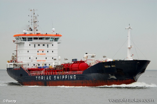
Vessel LADY ELA IMO: 9511442, MMSI: 538003488 Chemical Oil Products Tanker
UTC, 60.42823, 26.92075, course: 123, speed: 0
UTC, 60.42822, 26.92069, course: 123, speed: 0
2026-01-25 10:29:05 UTC, 60.42820, 26.92071, course: 123, speed: 0
Live AIS position:
UTC. Near Kotka),
updated 2026-01-25 10:29:05 UTC.
Find the position of the vessel LADY ELA on the map. The latter are known coordinates and path.
marine traffic ship tracker show on live map
The current position of vessel LADY ELA is 60.42820 lat / 26.92071 lng. Updated: 2026-01-25 10:29:05 UTCCurrently sailing under the flag of Marshall Is
LADY ELA built in 2009 year
Deadweight:
7668 tDetails:
Last coordinates of the vessel:
UTC, 60.42823, 26.92075, course: 123, speed: 0UTC, 60.42823, 26.92075, course: 123, speed: 0
UTC, 60.42822, 26.92069, course: 123, speed: 0
2026-01-25 10:29:05 UTC, 60.42820, 26.92071, course: 123, speed: 0