 vesseltracker.com
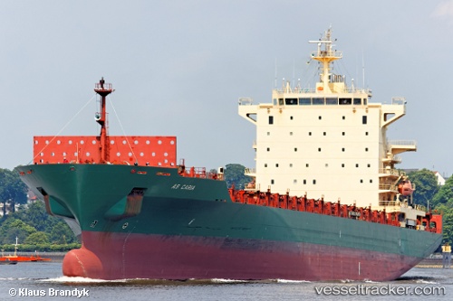
Find the position of the vessel Harmony N on the map. The latter are known coordinates and path.
marine traffic ship tracker show on live map
The current position of vessel Harmony N is 45.57373 lat / 13.68188 lng. Updated: 2025-10-28 18:52:58 UTCCurrently sailing under the flag of Liberia
Harmony N built in 2006 year
Deadweight:
39420 tDetails:
Last coordinates of the vessel:
UTC, 45.57222, 13.68242, course: 61, speed: 0.2UTC, 45.57399, 13.68214, course: 129, speed: 0.1
UTC, 45.57406, 13.68220, course: 136, speed: 0.1
2025-10-28 18:52:58 UTC, 45.57373, 13.68188, course: 117, speed: 0