 vesseltracker.com
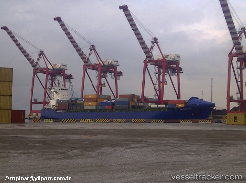
Find the position of the vessel Gabriel A on the map. The latter are known coordinates and path.
marine traffic ship tracker show on live map
The current position of vessel Gabriel A is 32.9064 lat / 13.1922 lng. Updated: 2025-10-21 19:26:26 UTCCurrently sailing under the flag of Malta
Gabriel A built in 2004 year
Deadweight:
17264 tDetails:
Last coordinates of the vessel:
UTC, 32.9064, 13.1922, course: 293, speed: 0UTC, 32.905, 13.1917, course: -1, speed: 0
UTC, 32.9064, 13.1922, course: 293, speed: 0
2025-10-21 19:26:26 UTC, 32.9064, 13.1922, course: 293, speed: 0