 vesseltracker.com
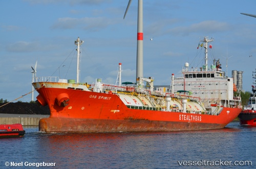
 POSEIDON GAS
Current Status
Where is the vessel?
POSEIDON GAS is currently in Near Kumport, based on AIS data received less than 1h ago.
Latest AIS update:
Current position: 40.94163° N, 28.78094° E (Near Kumport)
Average speed (last 7 days): Loading…
Average speed (last 30 days): Loading…
Vessel profile: POSEIDON GAS is a Lpg Tanker with dimensions m x m.
This page combines live AIS, route history, probable destination signals, nearby traffic, and port activity for practical vessel monitoring.
The current position of vessel POSEIDON GAS is 40.94163 lat / 28.78094 lng. Updated: 2026-05-12 19:50:29 UTCNearest reference points:
- Near Kumport
- Near Küçükçekmece
- Near Ambarli
Currently sailing under the flag of Liberia ![]()
Details:
Live Vessel POSEIDON GAS Analytics (details, animations, etc.)
Recent AIS points (UTC):
2026-05-12 16:26:02 UTC · 40.94553, 28.78115 · SOG 0 kn · COG 231°2026-05-12 17:44:02 UTC · 40.94486, 28.78120 · SOG 0.1 kn · COG 288°
2026-05-12 19:44:02 UTC · 40.94158, 28.78098 · SOG 0 kn · COG 343°
2026-05-12 19:50:29 UTC · 40.94163, 28.78094 · SOG 0.1 kn · COG 333°