 vesseltracker.com
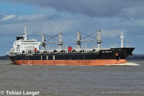
 PRINCESS SHAIMAA
Current Status
Where is the vessel?
PRINCESS SHAIMAA is currently in 77 nm N of Villanueva de Lorenzana, based on AIS data received less than 1h ago.
Latest AIS update:
Current position: 44.74889° N, 9.08989° W (77 nm N of Villanueva de Lorenzana)
Average speed (last 7 days): Loading…
Average speed (last 30 days): Loading…
Vessel profile: PRINCESS SHAIMAA is a Bulk Carrier with dimensions m x m.
This page combines live AIS, route history, probable destination signals, nearby traffic, and port activity for practical vessel monitoring.
The current position of vessel PRINCESS SHAIMAA is 44.74889 lat / -9.08989 lng. Updated: 2026-05-18 07:18:12 UTCNearest reference points:
- 30 nm NW of Meiras-Valdoviño
- 57 nm S of Boboras
- 13 nm NE of Villanueva de Lorenzana
Currently sailing under the flag of Malta ![]()
Details:
Live Vessel PRINCESS SHAIMAA Analytics (details, animations, etc.)
Recent AIS points (UTC):
2026-05-18 03:53:36 UTC · 45.22167, -8.71333 · SOG 10 kn · COG -1°2026-05-18 04:56:26 UTC · 45.07885, -8.83916 · SOG 9.3 kn · COG 212°
2026-05-18 05:47:41 UTC · 44.96167, -8.92666 · SOG 9 kn · COG -1°
2026-05-18 07:18:12 UTC · 44.74889, -9.08989 · SOG 9.7 kn · COG 208°