 vesseltracker.com
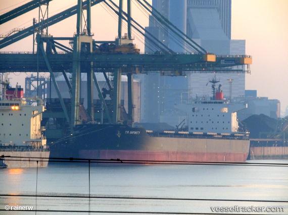
 ANDERMATT
Current Status
Where is the vessel?
ANDERMATT is currently in 19 nm SW of Montevideo, based on AIS data received about 1h ago.
Latest AIS update:
Current position: 35.16680° S, 56.44115° W (19 nm SW of Montevideo)
Average speed (last 7 days): Loading…
Average speed (last 30 days): Loading…
Vessel profile: ANDERMATT is a Cargo with dimensions m x m.
This page combines live AIS, route history, probable destination signals, nearby traffic, and port activity for practical vessel monitoring.
The current position of vessel ANDERMATT is -35.16680 lat / -56.44115 lng. Updated: 2026-05-13 11:45:13 UTCNearest reference points:
- 16 nm N of Cabo San Antonio
- 12 nm S of Piriápolis
- Near JUAN LACAZE
Currently sailing under the flag of Liberia ![]()
Details:
Live Vessel ANDERMATT Analytics (details, animations, etc.)
Recent AIS points (UTC):
2026-05-13 06:34:23 UTC · -34.85567, -57.37139 · SOG 11.7 kn · COG 123°2026-05-13 09:58:04 UTC · -35.16716, -56.78868 · SOG 10.1 kn · COG 92°
2026-05-13 10:42:04 UTC · -35.16854, -56.64017 · SOG 8.5 kn · COG 91°
2026-05-13 11:45:13 UTC · -35.16680, -56.44115 · SOG 10.4 kn · COG 88°