 vesseltracker.com
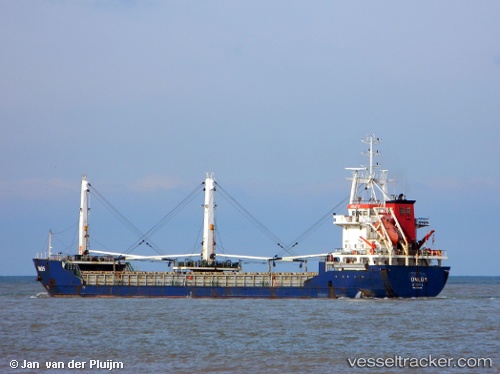
Vessel Unlu 5 IMO: 9334416, MMSI: 271000854 General Cargo Ship
UTC, 38.33488, 13.48313, course: 93, speed: 9.9
UTC, 38.31885, 13.81298, course: 87, speed: 9.8
2026-02-12 12:57:59 UTC, 38.31885, 13.81298, course: 87, speed: 9.8
Live AIS position:
UTC. 19 nm NE of Porticello),
updated 2026-02-12 12:57:59 UTC.
Find the position of the vessel Unlu 5 on the map. The latter are known coordinates and path.
marine traffic ship tracker show on live map
The current position of vessel Unlu 5 is 38.31885 lat / 13.81298 lng. Updated: 2026-02-12 12:57:59 UTCCurrently sailing under the flag of Turkey
Unlu 5 built in 2006 year
Deadweight:
5346 tDetails:
Last coordinates of the vessel:
UTC, 38.34508, 13.27863, course: 115, speed: 9.7UTC, 38.33488, 13.48313, course: 93, speed: 9.9
UTC, 38.31885, 13.81298, course: 87, speed: 9.8
2026-02-12 12:57:59 UTC, 38.31885, 13.81298, course: 87, speed: 9.8