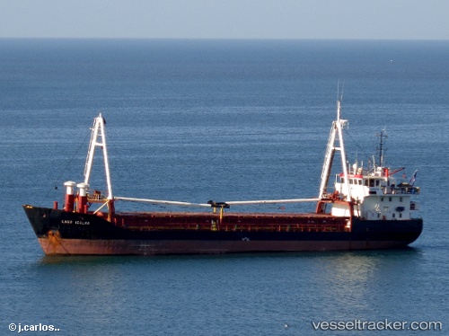
MMSI: 367241000 callsign: KAQP size: 83x16
Find the position of the vessel Atlantis on the map. The latter are known coordinates and path.
marine traffic ship tracker show on live map
The current position of vessel Atlantis is -27.1468 lat / -109.443 lng. Updated: 2024-12-22 14:32:31 UTC
Currently sailing under the flag of USA
Atlantis built in 1997 year
Home port:
Woods Hole (census-designated place in town of Falmouth, Barnstable County, Massachusetts, United States)
Port of registry:
Woods Hole (census-designated place in town of Falmouth, Barnstable County, Massachusetts, United States)
Deadweight:
1332 t
Gross tonnage:
3180
Net tonnage:
954
Beam:
16.0018 metre
Operator:
Woods Hole Oceanographic Institution (non profit research institute and higher education facility)
Service entry:
1998-02-01T00:00:00Z
Location of creation:
Moss Point (city in Jackson County, Mississippi, United States)
Named after:
RV Atlantis (sailboat of the Woods Hole Oceanographic Institution)
Manufacturer:
Bollinger Mississippi Shipbuilding (shipyard in Pascagoula, Mississippi)
Owned:
Office of Naval Research (office within the United States Department of the Navy)
Details:
Track of the vessel in the last 14 days