 vesseltracker.com
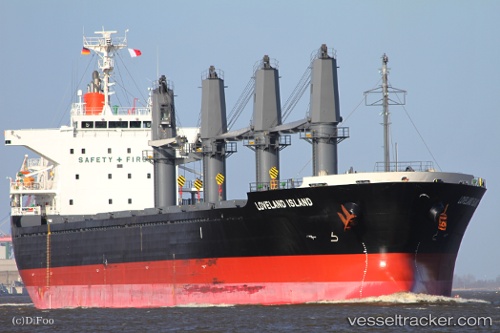
 LADY DIMINE
Current Status
Where is the vessel?
LADY DIMINE is currently in Near Paranam, based on AIS data received less than 1h ago.
Latest AIS update:
Current position: 5.60992° N, 55.08745° W (Near Paranam)
Average speed (last 7 days): Loading…
Average speed (last 30 days): Loading…
Vessel profile: LADY DIMINE is a Bulk Carrier with dimensions 169m x 27m.
This page combines live AIS, route history, probable destination signals, nearby traffic, and port activity for practical vessel monitoring.
The current position of vessel LADY DIMINE is 5.60992 lat / -55.08745 lng. Updated: 2026-05-15 04:20:53 UTCNearest reference points:
- Near Paramaribo Zorg en Hoop Airport
- 38 nm NW of Jarikaba
Currently sailing under the flag of Bahamas ![]()
LADY DIMINE built in 2010 year
Deadweight:
28316 tDetails:
Live Vessel LADY DIMINE Analytics (details, animations, etc.)
Recent AIS points (UTC):
2026-05-15 00:08:51 UTC · 5.60993, -55.08747 · SOG 0 kn · COG 140°2026-05-15 01:20:52 UTC · 5.60992, -55.08747 · SOG 0 kn · COG 139°
2026-05-15 04:08:51 UTC · 5.60992, -55.08745 · SOG 0 kn · COG 139°
2026-05-15 04:20:53 UTC · 5.60992, -55.08745 · SOG 0 kn · COG 139°