.

Port Orkanger

Where is the Port?
ORKANGER is located near the monitored sea lanes. The official UN/LOCODE of this port is NOORK.

How many vessels are in Orkanger port?
There are currently 4 vessels in port and 2 vessels recently departed.

Port map updates in near real-time from AIS snapshots and route transitions. Use the vessel-type filters and names toggle in the map control.

NI flag WILSON PORI

Vessel type: General Cargo Ship | IMO: 9201839 | MMSI: MMSI: 257813000
Call sign: LAOC8 | Dimensions: 90 m x 13 m
Current Status

Where is the vessel?

WILSON PORI is currently in Near Orkanger, based on AIS data received about 14h ago.

Latest AIS update:

Current position: 63.32091° N, 9.87866° E (Near Orkanger)

Average speed (last 7 days): Loading…

Average speed (last 30 days): Loading…

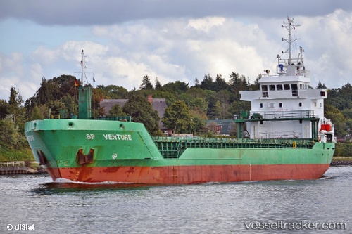
Vessel profile: WILSON PORI is a General Cargo Ship with dimensions 90m x 13m.

This page combines live AIS, route history, probable destination signals, nearby traffic, and port activity for practical vessel monitoring.

The current position of vessel WILSON PORI is 63.32091 lat / 9.87866 lng. Updated: 2026-07-02 16:34:05 UTC
More recent position available: 44 min ago
Free positions are delayed by 14 hours.

We recommend registering. If you register, paid vessel access will be saved in your profile. Guest access works only through a personal link.

Nearest reference points:
  • Near Uthaug
  • Near Trondheim
  • Near Leksvik

Currently sailing under the flag of Norway (NIS) NI flag

WILSON PORI built in 1999 year

Deadweight:
4966 t

Details:

Live Vessel WILSON PORI Analytics (details, animations, etc.)


Recent AIS points (UTC):
2026-07-02 13:07:04 UTC · 63.32091, 9.87865 · SOG 0 kn · COG 236°
2026-07-02 14:13:03 UTC · 63.32090, 9.87861 · SOG 0 kn · COG 237°
2026-07-02 15:55:04 UTC · 63.32090, 9.87863 · SOG 0 kn · COG 236°
2026-07-02 16:34:05 UTC · 63.32091, 9.87866 · SOG 0 kn · COG 235°

Track of the vessel in the last 60 days


Most frequent incoming origins

Most frequent outgoing destinations


You can see routes between ports on port-to-port analytics.


Link to the map:


Find another ship

Recent vessel arrivals at the port

Latest available transitions/port-call records (UTC). Total: 2
2025-09-15 12:41 UTC · NI flagWILSON PORTO
IMO: 9291717, MMSI: 257545000 | Type: General Cargo Ship
2025-09-05 23:51 UTC · LINEA
IMO: 0, MMSI: 257694610 | Type:

Recent vessel departures from the port

Latest available transitions/port-call records (UTC). Total: 2
2025-09-15 12:41 UTC · NI flagWILSON PORTO
IMO: 9291717, MMSI: 257545000 | Type: General Cargo Ship
2025-09-05 23:51 UTC · LINEA
IMO: 0, MMSI: 257694610 | Type:

Shipping companies (lines) whose ships most often called at the port Orkanger:

No companies linked yet.

Port summary

Port congestion score

Loading congestion data…

Vessel type distribution for the last 3 months:

Unknown · 2 calls (66.7%)
General Cargo Ship · 1 calls (33.3%)

Most frequent incoming origins

Most frequent outgoing destinations


Vessels currently in port

Detected by latest AIS in the extended port area, latest 72 hours (deduplicated by vessel).

NI flagWILSON PORI
Type: General Cargo Ship | IMO: 9201839, MMSI: 257813000 | AIS: 2026-07-03 00:58:10 UTC
LINEA
Type: Unknown | IMO: 0, MMSI: 257694610 | AIS: 2026-07-03 00:51:00 UTC
SAFARI
Type: Unknown | IMO: 0, MMSI: 257868880 | AIS: 2026-07-02 14:12:32 UTC
BROSJAN
Type: Unknown | IMO: 0, MMSI: 258114570 | AIS: 2026-07-01 13:05:33 UTC

Expected arrivals

Forecast from transitions and inferred destination signals.


Port in news

Mentions from Topos news feed and spotlights.