 vesseltracker.com
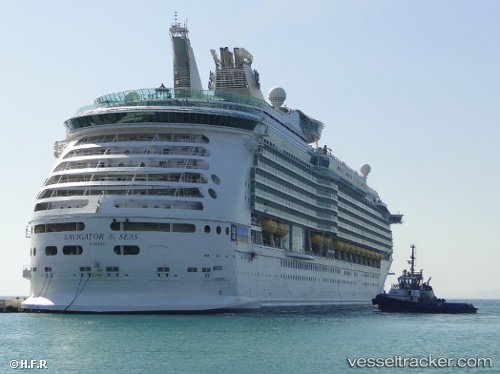
 NAVIGATOR OF THE SEA
Current Status
Where is the vessel?
NAVIGATOR OF THE SEA is currently in Near Ensenada, based on AIS data received less than 1h ago.
Latest AIS update:
Current position: 31.85167° N, 116.62500° W (Near Ensenada)
Average speed (last 7 days): Loading…
Average speed (last 30 days): Loading…
Vessel profile: NAVIGATOR OF THE SEA is a Passenger with dimensions m x m.
This page combines live AIS, route history, probable destination signals, nearby traffic, and port activity for practical vessel monitoring.
The current position of vessel NAVIGATOR OF THE SEA is 31.85167 lat / -116.62500 lng. Updated: 2026-05-16 22:30:48 UTCNearest reference points:
- Near Ensenada
- Near San Diego
- Near Coronado
Details:
Live Vessel NAVIGATOR OF THE SEA Analytics (details, animations, etc.)
Recent AIS points (UTC):
2026-05-16 17:46:57 UTC · 31.85225, -116.62433 · SOG 0 kn · COG 150°2026-05-16 19:28:56 UTC · 31.85225, -116.62434 · SOG 0 kn · COG 150°
2026-05-16 21:54:47 UTC · 31.85167, -116.62500 · SOG 0 kn · COG -1°
2026-05-16 22:30:48 UTC · 31.85167, -116.62500 · SOG 0 kn · COG -1°