 vesseltracker.com
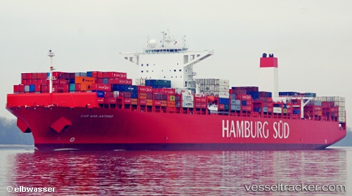
 Cap San Antonio
Current Status
Where is the vessel?
Cap San Antonio is currently in 163 nm SW of L'Étang-Salé, based on AIS data received less than 1h ago.
Latest AIS update:
Current position: 23.40112° S, 53.55370° E (163 nm SW of L'Étang-Salé)
Average speed (last 7 days): Loading…
Average speed (last 30 days): Loading…
Vessel profile: Cap San Antonio is a Container Ship with dimensions 333m x 333m.
This page combines live AIS, route history, probable destination signals, nearby traffic, and port activity for practical vessel monitoring.
The current position of vessel Cap San Antonio is -23.40112 lat / 53.55370 lng. Updated: 2026-05-18 08:07:45 UTCNearest reference points:
- 209 nm E of Manakara
- 194 nm E of Manakara
Currently sailing under the flag of Denmark ![]()
Cap San Antonio built in 2014 year
Deadweight:
124424 tDetails:
Live Vessel Cap San Antonio Analytics (details, animations, etc.)
Recent AIS points (UTC):
2026-05-18 04:59:35 UTC · -23.87185, 52.68253 · SOG 17.8 kn · COG 63°2026-05-18 06:02:26 UTC · -23.72205, 52.97675 · SOG 17.7 kn · COG 63°
2026-05-18 07:15:27 UTC · -23.53008, 53.30920 · SOG 18.1 kn · COG 62°
2026-05-18 08:07:45 UTC · -23.40112, 53.55370 · SOG 17.9 kn · COG 62°