 vesseltracker.com
 PS AMALFI
Current Status
Where is the vessel?
PS AMALFI is currently in 52 nm N of Dzilam de Bravo, based on AIS data received less than 1h ago.
Latest AIS update:
Current position: 22.26333° N, 88.91333° W (52 nm N of Dzilam de Bravo)
Average speed (last 7 days): Loading…
Average speed (last 30 days): Loading…
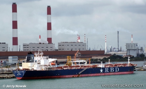
Vessel profile: PS AMALFI is a Crude Oil Tanker with dimensions 42m x 243m.
This page combines live AIS, route history, probable destination signals, nearby traffic, and port activity for practical vessel monitoring.
The current position of vessel PS AMALFI is 22.26333 lat / -88.91333 lng. Updated: 2026-05-18 04:38:58 UTCNearest reference points:
- 19 nm N of Progreso
- Near Puerto Juárez
Currently sailing under the flag of Malta ![]()
PS AMALFI built in 2010 year
Deadweight:
108958 tDetails:
Live Vessel PS AMALFI Analytics (details, animations, etc.)
Recent AIS points (UTC):
2026-05-17 23:27:01 UTC · 22.48167, -87.91167 · SOG 10 kn · COG -1°2026-05-18 01:09:02 UTC · 22.41333, -88.23667 · SOG 11 kn · COG -1°
2026-05-18 04:12:02 UTC · 22.28167, -88.82667 · SOG 10 kn · COG -1°
2026-05-18 04:38:58 UTC · 22.26333, -88.91333 · SOG 11 kn · COG -1°