 vesseltracker.com
 MORANDI
Current Status
Where is the vessel?
MORANDI is currently in 109 nm SE of Okao, based on AIS data received about 2h ago.
Latest AIS update:
Current position: 5.45492° S, 117.15564° E (109 nm SE of Okao)
Average speed (last 7 days): Loading…
Average speed (last 30 days): Loading…
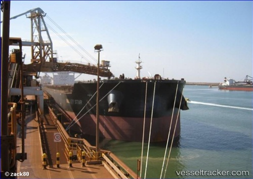
Vessel profile: MORANDI is a Cargo with dimensions m x m.
This page combines live AIS, route history, probable destination signals, nearby traffic, and port activity for practical vessel monitoring.
The current position of vessel MORANDI is -5.45492 lat / 117.15564 lng. Updated: 2026-05-17 21:09:31 UTCNearest reference points:
- 117 nm W of Panakukang
- 74 nm NE of Pagerungan
- 70 nm S of MEKAR PUTIH
Currently sailing under the flag of Malta ![]()
Details:
Live Vessel MORANDI Analytics (details, animations, etc.)
Recent AIS points (UTC):
2026-05-17 18:10:16 UTC · -4.94363, 117.47115 · SOG 12 kn · COG 206°2026-05-17 18:10:16 UTC · -4.94363, 117.47115 · SOG 12 kn · COG 206°
2026-05-17 21:09:31 UTC · -5.45492, 117.15564 · SOG 11.8 kn · COG 212°
2026-05-17 21:09:31 UTC · -5.45492, 117.15564 · SOG 11.8 kn · COG 212°