 vesseltracker.com
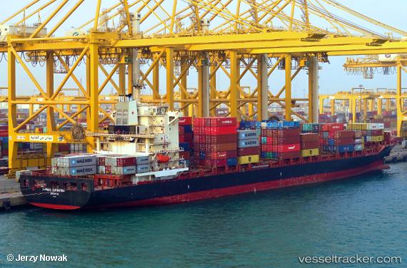
 MSC CAPETOWN III
Current Status
Where is the vessel?
MSC CAPETOWN III is currently in 108 nm NW of Bangui, based on AIS data received about 1h ago.
Latest AIS update:
Current position: 19.83722° N, 119.44003° E (108 nm NW of Bangui)
Average speed (last 7 days): Loading…
Average speed (last 30 days): Loading…
Vessel profile: MSC CAPETOWN III is a Container Ship with dimensions m x m.
This page combines live AIS, route history, probable destination signals, nearby traffic, and port activity for practical vessel monitoring.
The current position of vessel MSC CAPETOWN III is 19.83722 lat / 119.44003 lng. Updated: 2026-05-17 16:23:24 UTCNearest reference points:
- 132 nm SW of Kaohsiung
- 106 nm W of Basco
- 101 nm S of Kaohsiung
Currently sailing under the flag of Portugal ![]()
Details:
Live Vessel MSC CAPETOWN III Analytics (details, animations, etc.)
Recent AIS points (UTC):
2026-05-17 13:29:52 UTC · 19.39080, 119.08308 · SOG 11.4 kn · COG 41°2026-05-17 14:22:02 UTC · 19.52601, 119.18854 · SOG 11.6 kn · COG 41°
2026-05-17 16:02:02 UTC · 19.78388, 119.39936 · SOG 11.6 kn · COG 38°
2026-05-17 16:23:24 UTC · 19.83722, 119.44003 · SOG 11 kn · COG 40°