 vesseltracker.com
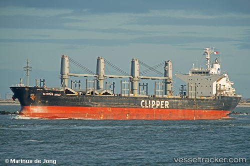
 CORELIT
Current Status
Where is the vessel?
CORELIT is currently in 64 nm W of As Salif, based on AIS data received less than 1h ago.
Latest AIS update:
Current position: 15.37202° N, 41.55703° E (64 nm W of As Salif)
Average speed (last 7 days): Loading…
Average speed (last 30 days): Loading…
Vessel profile: CORELIT is a Bulk Carrier with dimensions m x m.
This page combines live AIS, route history, probable destination signals, nearby traffic, and port activity for practical vessel monitoring.
The current position of vessel CORELIT is 15.37202 lat / 41.55703 lng. Updated: 2026-05-17 19:20:37 UTCNearest reference points:
- 81 nm NW of As Salif
- 92 nm SW of Al Qahmah
- Near Jazan Economic City
Currently sailing under the flag of Barbados ![]()
Details:
Live Vessel CORELIT Analytics (details, animations, etc.)
Recent AIS points (UTC):
2026-05-17 15:53:35 UTC · 15.95465, 41.24800 · SOG 11 kn · COG 152°2026-05-17 16:08:52 UTC · 15.91290, 41.26987 · SOG 11 kn · COG 151°
2026-05-17 16:46:12 UTC · 15.80875, 41.32480 · SOG 11.3 kn · COG 149°
2026-05-17 19:20:37 UTC · 15.37202, 41.55703 · SOG 11.2 kn · COG 153°