 vesseltracker.com
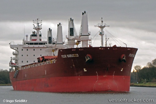
 MERRY M
Current Status
Where is the vessel?
MERRY M is currently in Near Marina di Ravenna, based on AIS data received less than 1h ago.
Latest AIS update:
Current position: 44.51638° N, 12.44663° E (Near Marina di Ravenna)
Average speed (last 7 days): Loading…
Average speed (last 30 days): Loading…
Vessel profile: MERRY M is a Bulk Carrier with dimensions m x m.
This page combines live AIS, route history, probable destination signals, nearby traffic, and port activity for practical vessel monitoring.
The current position of vessel MERRY M is 44.51638 lat / 12.44663 lng. Updated: 2026-05-18 03:37:52 UTCNearest reference points:
- Near Marina di Ravenna
- Near San Giuseppe
- Near Porto San Vitale
Currently sailing under the flag of Barbados ![]()
Details:
Live Vessel MERRY M Analytics (details, animations, etc.)
Recent AIS points (UTC):
2026-05-17 23:22:50 UTC · 44.51611, 12.44697 · SOG 0.1 kn · COG 255°2026-05-18 01:43:52 UTC · 44.51507, 12.44655 · SOG 0 kn · COG 294°
2026-05-18 02:13:51 UTC · 44.51530, 12.44660 · SOG 0 kn · COG 282°
2026-05-18 03:37:52 UTC · 44.51638, 12.44663 · SOG 0.1 kn · COG 250°