 vesseltracker.com
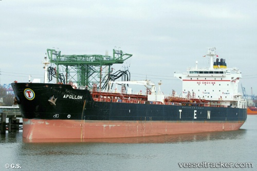
 BRIDGET
Current Status
Where is the vessel?
BRIDGET is currently in 220 nm SW of Antofagasta, based on AIS data received about 6d ago.
Latest AIS update:
Current position: 26.45295° S, 67.80979° E (220 nm SW of Antofagasta)
Average speed (last 7 days): Loading…
Average speed (last 30 days): Loading…
Vessel profile: BRIDGET is a Oil/Chemical Tanker with dimensions m x m.
This page combines live AIS, route history, probable destination signals, nearby traffic, and port activity for practical vessel monitoring.
The current position of vessel BRIDGET is -26.45295 lat / 67.80979 lng. Updated: 2026-05-11 09:39:03 UTCNearest reference points:
- Open sea, approx. 401 nm off the nearest listed port
- Open sea, approx. 402 nm off the nearest listed port
- Open sea, approx. 412 nm off the nearest listed port
Currently sailing under the flag of Barbados ![]()
Details:
Live Vessel BRIDGET Analytics (details, animations, etc.)
Recent AIS points (UTC):
2026-05-11 09:39:03 UTC · -26.45295, 67.80979 · SOG 12.5 kn · COG 248°2026-05-11 09:39:03 UTC · -26.45295, 67.80979 · SOG 12.5 kn · COG 248°
2026-05-11 09:39:03 UTC · -26.45295, 67.80979 · SOG 12.5 kn · COG 248°
2026-05-11 09:39:03 UTC · -26.45295, 67.80979 · SOG 12.5 kn · COG 248°