 vesseltracker.com
 AYAT
AYAT
Current Status
Where is the vessel?
AYAT is currently in Near Pasir Panjang Wharves, based on AIS data received less than 1h ago.
Latest AIS update:
Current position: 1.23337° N, 103.80697° E (Near Pasir Panjang Wharves)
Average speed (last 7 days): Loading…
Average speed (last 30 days): Loading…
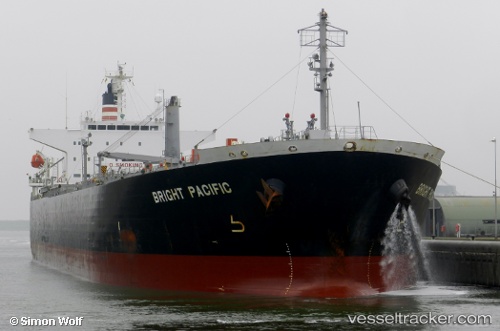
Vessel profile: AYAT is a Oil Products Tanker with dimensions m x m.
This page combines live AIS, route history, probable destination signals, nearby traffic, and port activity for practical vessel monitoring.
The current position of vessel AYAT is 1.23337 lat / 103.80697 lng. Updated: 2026-05-17 16:22:33 UTCNearest reference points:
- Near Singapore
- Near Pasir Panjang Wharves
- Near Bukit Merah Estate
Currently sailing under the flag of Saint Kitts and Nevis ![]()
Details:
Live Vessel AYAT Analytics (details, animations, etc.)
Recent AIS points (UTC):
2026-05-17 13:31:30 UTC · 1.23430, 103.80477 · SOG 0.1 kn · COG 155°2026-05-17 14:19:32 UTC · 1.23453, 103.80631 · SOG 0.4 kn · COG 215°
2026-05-17 16:04:31 UTC · 1.23372, 103.80695 · SOG 0.1 kn · COG 248°
2026-05-17 16:22:33 UTC · 1.23337, 103.80697 · SOG 0.1 kn · COG 260°