 vesseltracker.com
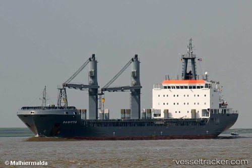
 LADY RUBINA
Current Status
Where is the vessel?
LADY RUBINA is currently in 28 nm NW of Villanueva de Lorenzana, based on AIS data received less than 1h ago.
Latest AIS update:
Current position: 43.78331° N, 9.74647° W (28 nm NW of Villanueva de Lorenzana)
Average speed (last 7 days): Loading…
Average speed (last 30 days): Loading…
Vessel profile: LADY RUBINA is a General Cargo with dimensions m x m.
This page combines live AIS, route history, probable destination signals, nearby traffic, and port activity for practical vessel monitoring.
The current position of vessel LADY RUBINA is 43.78331 lat / -9.74647 lng. Updated: 2026-05-17 22:20:52 UTCNearest reference points:
- 13 nm NE of Villanueva de Lorenzana
- 30 nm NW of Meiras-Valdoviño
- Near PUNTA LANGOSTEIRA
Currently sailing under the flag of Panama ![]()
Details:
Live Vessel LADY RUBINA Analytics (details, animations, etc.)
Recent AIS points (UTC):
2026-05-17 16:58:06 UTC · 44.59519, -9.14048 · SOG 10.4 kn · COG 208°2026-05-17 16:58:06 UTC · 44.59519, -9.14048 · SOG 10.4 kn · COG 208°
2026-05-17 21:58:05 UTC · 43.84381, -9.69894 · SOG 10.6 kn · COG 211°
2026-05-17 22:20:52 UTC · 43.78331, -9.74647 · SOG 10.9 kn · COG 209°