 vesseltracker.com
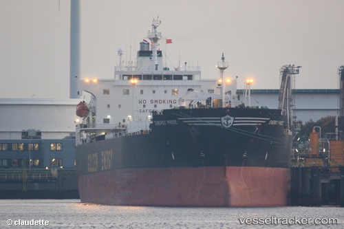
 OCEAN THALIA
Current Status
Where is the vessel?
OCEAN THALIA is currently in 26 nm NW of Scauri Alto, based on AIS data received about 1h ago.
Latest AIS update:
Current position: 37.15548° N, 11.74330° E (26 nm NW of Scauri Alto)
Average speed (last 7 days): Loading…
Average speed (last 30 days): Loading…
Vessel profile: OCEAN THALIA is a Oil Products Tanker with dimensions m x m.
This page combines live AIS, route history, probable destination signals, nearby traffic, and port activity for practical vessel monitoring.
The current position of vessel OCEAN THALIA is 37.15548 lat / 11.74330 lng. Updated: 2026-05-17 18:05:39 UTCNearest reference points:
- 13 nm N of Qulaybiyah
- 32 nm N of Qulaybiyah
- Near MARSALA
Currently sailing under the flag of Panama ![]()
Details:
Live Vessel OCEAN THALIA Analytics (details, animations, etc.)
Recent AIS points (UTC):
2026-05-17 13:30:53 UTC · 37.49333, 10.57833 · SOG 13 kn · COG -1°2026-05-17 15:51:55 UTC · 37.35167, 11.20500 · SOG 12 kn · COG -1°
2026-05-17 16:12:51 UTC · 37.31500, 11.28667 · SOG 12 kn · COG -1°
2026-05-17 18:05:39 UTC · 37.15548, 11.74330 · SOG 12.6 kn · COG 112°