 vesseltracker.com
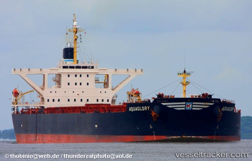
 CAPE TAIZHOU
Current Status
Where is the vessel?
CAPE TAIZHOU is currently in 22 nm E of SOVGAVAN, based on AIS data received less than 1h ago.
Latest AIS update:
Current position: 48.93778° N, 140.83463° E (22 nm E of SOVGAVAN)
Average speed (last 7 days): Loading…
Average speed (last 30 days): Loading…
Vessel profile: CAPE TAIZHOU is a Bulk Carrier with dimensions m x m.
This page combines live AIS, route history, probable destination signals, nearby traffic, and port activity for practical vessel monitoring.
The current position of vessel CAPE TAIZHOU is 48.93778 lat / 140.83463 lng. Updated: 2026-05-17 05:56:39 UTCNearest reference points:
- 38 nm SE of Sovetskaya Gavan
- 45 nm S of Sovetskaya Gavan
- Near Uglegorsk
Currently sailing under the flag of Panama ![]()
Details:
Live Vessel CAPE TAIZHOU Analytics (details, animations, etc.)
Recent AIS points (UTC):
2026-05-17 02:01:29 UTC · 48.84480, 140.92110 · SOG 5.1 kn · COG 280°2026-05-17 03:55:12 UTC · 48.87933, 140.85629 · SOG 1.6 kn · COG 278°
2026-05-17 04:15:40 UTC · 48.88743, 140.85106 · SOG 1.6 kn · COG 279°
2026-05-17 05:56:39 UTC · 48.93778, 140.83463 · SOG 2.1 kn · COG 285°