 vesseltracker.com
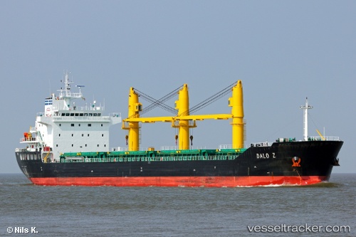
 HOANG ANH 18
Current Status
Where is the vessel?
HOANG ANH 18 is currently in 199 nm SE of Gonubie, based on AIS data received about 2h ago.
Latest AIS update:
Current position: 34.55667° S, 31.48500° E (199 nm SE of Gonubie)
Average speed (last 7 days): Loading…
Average speed (last 30 days): Loading…
Vessel profile: HOANG ANH 18 is a Bulk Carrier with dimensions m x m.
This page combines live AIS, route history, probable destination signals, nearby traffic, and port activity for practical vessel monitoring.
The current position of vessel HOANG ANH 18 is -34.55667 lat / 31.48500 lng. Updated: 2026-05-17 19:30:44 UTCNearest reference points:
- 125 nm SE of Port Edward
Currently sailing under the flag of Panama ![]()
Details:
Live Vessel HOANG ANH 18 Analytics (details, animations, etc.)
Recent AIS points (UTC):
2026-05-17 16:54:12 UTC · -34.46068, 31.98760 · SOG 10.3 kn · COG 258°2026-05-17 17:56:41 UTC · -34.50482, 31.78223 · SOG 9.9 kn · COG 263°
2026-05-17 19:00:34 UTC · -34.53904, 31.57966 · SOG 9.4 kn · COG 259°
2026-05-17 19:30:44 UTC · -34.55667, 31.48500 · SOG 9 kn · COG -1°