 vesseltracker.com
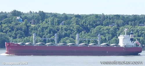
Federal Imabari
Current StatusWhere is the vessel?
Federal Imabari is currently in 11 nm S of Santa Marta, based on AIS data received less than 1h ago.
Latest AIS update:
Current position: 11.07211° N, 74.23095° W (11 nm S of Santa Marta)
Average speed (last 7 days): Loading…
Average speed (last 30 days): Loading…
Vessel profile: Federal Imabari is a Bulk Carrier with dimensions 32m x 200m.
This page combines live AIS, route history, probable destination signals, nearby traffic, and port activity for practical vessel monitoring.
The current position of vessel Federal Imabari is 11.07211 lat / -74.23095 lng. Updated: 2026-05-17 05:37:38 UTCNearest reference points:
- Near Santa Marta
- 18 nm N of Santa Marta
- Near Contecar
Details:
Live Vessel Federal Imabari Analytics (details, animations, etc.)
Recent AIS points (UTC):
2026-05-17 02:25:40 UTC · 11.07212, -74.23095 · SOG 0 kn · COG 312°2026-05-17 04:07:45 UTC · 11.07212, -74.23095 · SOG 0 kn · COG 312°
2026-05-17 05:10:41 UTC · 11.07209, -74.23092 · SOG 0 kn · COG 312°
2026-05-17 05:37:38 UTC · 11.07211, -74.23095 · SOG 0 kn · COG 312°