 vesseltracker.com
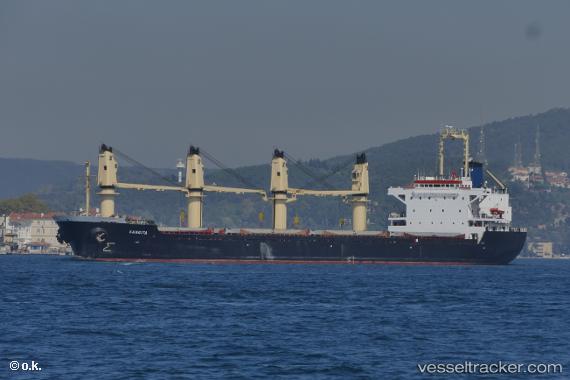
 BEST HARMONY
Current Status
Where is the vessel?
BEST HARMONY is currently in Near Tartus, based on AIS data received about 23h ago.
Latest AIS update:
Current position: 34.90116° N, 35.87099° E (Near Tartus)
Average speed (last 7 days): Loading…
Average speed (last 30 days): Loading…
Vessel profile: BEST HARMONY is a Bulk Carrier with dimensions 26m x 154m.
This page combines live AIS, route history, probable destination signals, nearby traffic, and port activity for practical vessel monitoring.
The current position of vessel BEST HARMONY is 34.90116 lat / 35.87099 lng. Updated: 2026-05-16 08:12:22 UTCNearest reference points:
- Near Tartous
- Near Tripoli
- Near Al Ladhiqiyah
Currently sailing under the flag of Panama ![]()
BEST HARMONY built in 1995 year
Deadweight:
23581 tDetails:
Live Vessel BEST HARMONY Analytics (details, animations, etc.)
Recent AIS points (UTC):
2026-05-16 08:12:22 UTC · 34.90116, 35.87099 · SOG 1.3 kn · COG 106°2026-05-16 08:12:22 UTC · 34.90116, 35.87099 · SOG 1.3 kn · COG 106°
2026-05-16 08:12:22 UTC · 34.90116, 35.87099 · SOG 1.3 kn · COG 106°
2026-05-16 08:12:22 UTC · 34.90116, 35.87099 · SOG 1.3 kn · COG 106°