 vesseltracker.com
 NAVIGATOR
Current Status
Where is the vessel?
NAVIGATOR is currently in 80 nm W of Koiingnaas, based on AIS data received less than 1h ago.
Latest AIS update:
Current position: 30.67620° S, 15.84494° E (80 nm W of Koiingnaas)
Average speed (last 7 days): Loading…
Average speed (last 30 days): Loading…
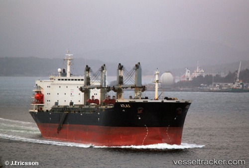
Vessel profile: NAVIGATOR is a Bulk Carrier with dimensions m x m.
This page combines live AIS, route history, probable destination signals, nearby traffic, and port activity for practical vessel monitoring.
The current position of vessel NAVIGATOR is -30.67620 lat / 15.84494 lng. Updated: 2026-05-17 10:07:41 UTCNearest reference points:
- 154 nm W of Koiingnaas
- 167 nm SW of Koiingnaas
- 161 nm W of Koiingnaas
Currently sailing under the flag of Palau ![]()
Details:
Live Vessel NAVIGATOR Analytics (details, animations, etc.)
Recent AIS points (UTC):
2026-05-17 05:25:50 UTC · -31.47729, 16.32870 · SOG 11.5 kn · COG 327°2026-05-17 07:09:43 UTC · -31.18012, 16.14070 · SOG 11.5 kn · COG 333°
2026-05-17 08:15:33 UTC · -30.98855, 16.04459 · SOG 11.5 kn · COG 332°
2026-05-17 10:07:41 UTC · -30.67620, 15.84494 · SOG 11.7 kn · COG 328°