 vesseltracker.com
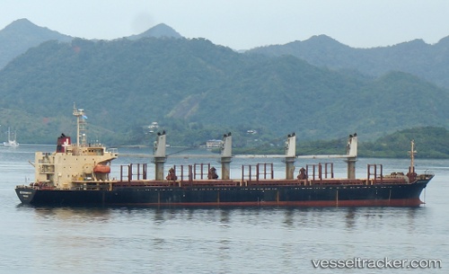
 ILA
ILA
Current Status
Where is the vessel?
ILA is currently in 11 nm W of Colombo, based on AIS data received less than 1h ago.
Latest AIS update:
Current position: 6.93066° N, 79.67016° E (11 nm W of Colombo)
Average speed (last 7 days): Loading…
Average speed (last 30 days): Loading…
Vessel profile: ILA is a Bulk Carrier with dimensions m x m.
This page combines live AIS, route history, probable destination signals, nearby traffic, and port activity for practical vessel monitoring.
The current position of vessel ILA is 6.93066 lat / 79.67016 lng. Updated: 2026-05-17 18:14:29 UTCNearest reference points:
- 19 nm SW of Bataduwa
- 67 nm SW of Moratuwa
- 38 nm SW of Galle
Currently sailing under the flag of Comoros ![]()
Details:
Live Vessel ILA Analytics (details, animations, etc.)
Recent AIS points (UTC):
2026-05-17 14:08:30 UTC · 6.93093, 79.66990 · SOG 0.3 kn · COG 231°2026-05-17 15:23:27 UTC · 6.93081, 79.67007 · SOG 0.3 kn · COG 224°
2026-05-17 17:08:28 UTC · 6.93077, 79.67015 · SOG 0.2 kn · COG 242°
2026-05-17 18:14:29 UTC · 6.93066, 79.67016 · SOG 0.2 kn · COG 248°