 vesseltracker.com
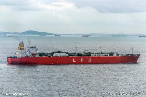
 GAS MARAKUA
Current Status
Where is the vessel?
GAS MARAKUA is currently in 40 nm W of Veraval, based on AIS data received less than 1h ago.
Latest AIS update:
Current position: 20.80637° N, 69.66359° E (40 nm W of Veraval)
Average speed (last 7 days): Loading…
Average speed (last 30 days): Loading…
Vessel profile: GAS MARAKUA is a Lpg Tanker with dimensions m x m.
This page combines live AIS, route history, probable destination signals, nearby traffic, and port activity for practical vessel monitoring.
The current position of vessel GAS MARAKUA is 20.80637 lat / 69.66359 lng. Updated: 2026-05-18 01:20:20 UTCNearest reference points:
- 54 nm S of Positra
- 49 nm S of Positra
- 33 nm S of Mul Dwårka
Currently sailing under the flag of Sierra Leone ![]()
Details:
Live Vessel GAS MARAKUA Analytics (details, animations, etc.)
Recent AIS points (UTC):
2026-05-17 22:16:18 UTC · 20.80581, 69.66304 · SOG 0.3 kn · COG 328°2026-05-18 00:09:07 UTC · 20.80569, 69.66291 · SOG 0.5 kn · COG 334°
2026-05-18 01:20:20 UTC · 20.80637, 69.66359 · SOG 0.2 kn · COG 294°
2026-05-18 01:20:20 UTC · 20.80637, 69.66359 · SOG 0.2 kn · COG 294°