 vesseltracker.com
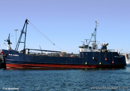
 Blue Gadus
Current Status
Where is the vessel?
Blue Gadus is currently in Near Juno Beach, based on AIS data received less than 1h ago.
Latest AIS update:
Current position: 26.90943° N, 80.08405° W (Near Juno Beach)
Average speed (last 7 days): Loading…
Average speed (last 30 days): Loading…
Vessel profile: Blue Gadus is a Fishing Vessel with dimensions 54m x 10m.
This page combines live AIS, route history, probable destination signals, nearby traffic, and port activity for practical vessel monitoring.
The current position of vessel Blue Gadus is 26.90943 lat / -80.08405 lng. Updated: 2026-05-18 08:16:54 UTCNearest reference points:
- Near Juno Beach
- Near North Palm Beach
- Near Lake Park
Currently sailing under the flag of USA ![]()
Details:
Live Vessel Blue Gadus Analytics (details, animations, etc.)
Recent AIS points (UTC):
2026-05-18 04:38:59 UTC · 26.90945, -80.08410 · SOG 0 kn · COG -1°2026-05-18 06:03:56 UTC · 26.90951, -80.08419 · SOG 1.4 kn · COG -1°
2026-05-18 07:02:29 UTC · 26.90937, -80.08394 · SOG 0.4 kn · COG -1°
2026-05-18 08:16:54 UTC · 26.90943, -80.08405 · SOG 0.2 kn · COG -1°