 vesseltracker.com
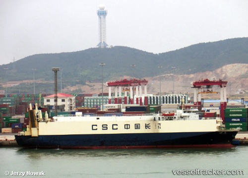
 HAIDA
HAIDA
Current Status
Where is the vessel?
HAIDA is currently in Near Bandjermasin, based on AIS data received less than 1h ago.
Latest AIS update:
Current position: 3.32835° S, 114.55742° E (Near Bandjermasin)
Average speed (last 7 days): Loading…
Average speed (last 30 days): Loading…
Vessel profile: HAIDA is a Cargo with dimensions m x m.
This page combines live AIS, route history, probable destination signals, nearby traffic, and port activity for practical vessel monitoring.
The current position of vessel HAIDA is -3.32835 lat / 114.55742 lng. Updated: 2026-05-17 09:35:52 UTCNearest reference points:
- Near BANJARMASIN
- Near Taboneo
- Near Bunati
Currently sailing under the flag of Indonesia ![]()
Details:
Live Vessel HAIDA Analytics (details, animations, etc.)
Recent AIS points (UTC):
2026-05-17 07:53:32 UTC · -3.55327, 114.48910 · SOG 11.1 kn · COG -1°2026-05-17 08:26:11 UTC · -3.45871, 114.50486 · SOG 11.9 kn · COG -1°
2026-05-17 09:32:31 UTC · -3.32831, 114.55742 · SOG 0.1 kn · COG -1°
2026-05-17 09:35:52 UTC · -3.32835, 114.55742 · SOG 0 kn · COG -1°