 vesseltracker.com
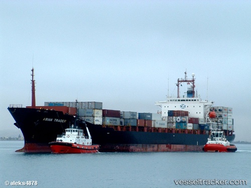
 Tanto Bersama
Current Status
Where is the vessel?
Tanto Bersama is currently in 21 nm N of New Priok Port, based on AIS data received about 1h ago.
Latest AIS update:
Current position: 5.73500° S, 106.92333° E (21 nm N of New Priok Port)
Average speed (last 7 days): Loading…
Average speed (last 30 days): Loading…
Vessel profile: Tanto Bersama is a Container Ship with dimensions 184m x 27m.
This page combines live AIS, route history, probable destination signals, nearby traffic, and port activity for practical vessel monitoring.
The current position of vessel Tanto Bersama is -5.73500 lat / 106.92333 lng. Updated: 2026-05-18 03:37:38 UTCNearest reference points:
- 19 nm N of Cilincing
- Near New Priok Port
- Near Jakarta
Currently sailing under the flag of Indonesia ![]()
Tanto Bersama built in 1991 year
Deadweight:
22735 tDetails:
Live Vessel Tanto Bersama Analytics (details, animations, etc.)
Recent AIS points (UTC):
2026-05-18 01:37:24 UTC · -6.08363, 106.88157 · SOG 6.2 kn · COG -1°2026-05-18 01:50:04 UTC · -6.05355, 106.88057 · SOG 9.7 kn · COG -1°
2026-05-18 03:10:48 UTC · -5.81333, 106.91333 · SOG 10 kn · COG -1°
2026-05-18 03:37:38 UTC · -5.73500, 106.92333 · SOG 10 kn · COG -1°