 vesseltracker.com
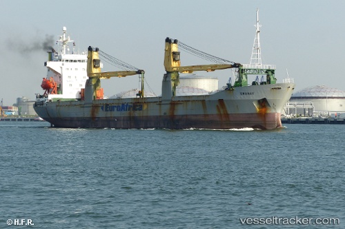
 CINDY
CINDY
Current Status
Where is the vessel?
CINDY is currently in 20 nm E of Famagusta, based on AIS data received less than 1h ago.
Latest AIS update:
Current position: 35.15521° N, 34.34598° E (20 nm E of Famagusta)
Average speed (last 7 days): Loading…
Average speed (last 30 days): Loading…
Vessel profile: CINDY is a General Cargo with dimensions m x m.
This page combines live AIS, route history, probable destination signals, nearby traffic, and port activity for practical vessel monitoring.
The current position of vessel CINDY is 35.15521 lat / 34.34598 lng. Updated: 2026-05-18 05:55:46 UTCNearest reference points:
- Near Larnaca
- 17 nm S of Vasilikos
- 31 nm SE of Vasilikos
Currently sailing under the flag of Guinea ![]()
Details:
Live Vessel CINDY Analytics (details, animations, etc.)
Recent AIS points (UTC):
2026-05-18 02:19:25 UTC · 35.16684, 34.32413 · SOG 0.3 kn · COG 184°2026-05-18 03:54:25 UTC · 35.15720, 34.32921 · SOG 0.4 kn · COG 192°
2026-05-18 04:11:45 UTC · 35.15604, 34.33033 · SOG 0.4 kn · COG 178°
2026-05-18 05:55:46 UTC · 35.15521, 34.34598 · SOG 0.5 kn · COG 167°