 vesseltracker.com
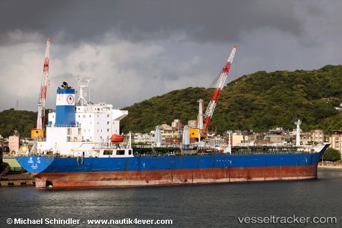
 OCEAN ACE
Current Status
Where is the vessel?
OCEAN ACE is currently in 298 nm SW of Sungai Besi, based on AIS data received less than 1h ago.
Latest AIS update:
Current position: 0.04699° N, 105.65051° W (298 nm SW of Sungai Besi)
Average speed (last 7 days): Loading…
Average speed (last 30 days): Loading…
Vessel profile: OCEAN ACE is a Tanker with dimensions m x m.
This page combines live AIS, route history, probable destination signals, nearby traffic, and port activity for practical vessel monitoring.
The current position of vessel OCEAN ACE is 0.04699 lat / -105.65051 lng. Updated: 2026-05-18 07:21:37 UTCNearest reference points:
- Open sea, approx. 403 nm off the nearest listed port
- Open sea, approx. 401 nm off the nearest listed port
- Open sea, approx. 406 nm off the nearest listed port
Currently sailing under the flag of Panama ![]()
Details:
Live Vessel OCEAN ACE Analytics (details, animations, etc.)
Recent AIS points (UTC):
2026-05-18 04:04:55 UTC · 0.12349, -105.72443 · SOG 1.6 kn · COG 214°2026-05-18 04:48:38 UTC · 0.13148, -105.70744 · SOG 1.4 kn · COG 217°
2026-05-18 05:36:27 UTC · 0.13833, -105.68833 · SOG 2 kn · COG -1°
2026-05-18 07:21:37 UTC · 0.04699, -105.65051 · SOG 7.9 kn · COG 183°