 vesseltracker.com
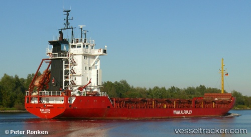
 LOS AMIGOS
Current Status
Where is the vessel?
LOS AMIGOS is currently in 10 nm E of Zarzis, based on AIS data received about 1h ago.
Latest AIS update:
Current position: 33.49657° N, 11.32439° E (10 nm E of Zarzis)
Average speed (last 7 days): Loading…
Average speed (last 30 days): Loading…
Vessel profile: LOS AMIGOS is a General Cargo with dimensions m x m.
This page combines live AIS, route history, probable destination signals, nearby traffic, and port activity for practical vessel monitoring.
The current position of vessel LOS AMIGOS is 33.49657 lat / 11.32439 lng. Updated: 2026-05-16 22:17:46 UTCNearest reference points:
- 37 nm E of Didon
- 22 nm NW of Tarabulus
- Near Ksour Essaf
Currently sailing under the flag of Saint Kitts and Nevis ![]()
Details:
Live Vessel LOS AMIGOS Analytics (details, animations, etc.)
Recent AIS points (UTC):
2026-05-16 16:59:00 UTC · 33.49638, 11.32473 · SOG 1 kn · COG 39°2026-05-16 17:50:45 UTC · 33.49640, 11.32470 · SOG 0.9 kn · COG 37°
2026-05-16 21:13:51 UTC · 33.49666, 11.32432 · SOG 0.7 kn · COG 58°
2026-05-16 22:17:46 UTC · 33.49657, 11.32439 · SOG 0.8 kn · COG 52°