 vesseltracker.com
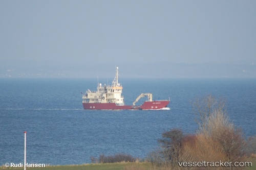
 GRAND EXPLORER
Current Status
Where is the vessel?
GRAND EXPLORER is currently in Near Longyearbyen, based on AIS data received about 2h ago.
Latest AIS update:
Current position: 78.24945° N, 15.27009° E (Near Longyearbyen)
Average speed (last 7 days): Loading…
Average speed (last 30 days): Loading…
Vessel profile: GRAND EXPLORER is a Buoy-laying Vessel with dimensions m x m.
This page combines live AIS, route history, probable destination signals, nearby traffic, and port activity for practical vessel monitoring.
The current position of vessel GRAND EXPLORER is 78.24945 lat / 15.27009 lng. Updated: 2026-05-17 13:48:29 UTCNearest reference points:
- Near Longyearbyen
Currently sailing under the flag of Panama ![]()
Details:
Live Vessel GRAND EXPLORER Analytics (details, animations, etc.)
Recent AIS points (UTC):
2026-05-17 10:55:39 UTC · 78.22943, 15.60227 · SOG 0 kn · COG 314°2026-05-17 11:41:00 UTC · 78.22943, 15.60224 · SOG 0 kn · COG 70°
2026-05-17 13:27:17 UTC · 78.25734, 15.49155 · SOG 8 kn · COG 303°
2026-05-17 13:48:29 UTC · 78.24945, 15.27009 · SOG 7.8 kn · COG 268°