 vesseltracker.com
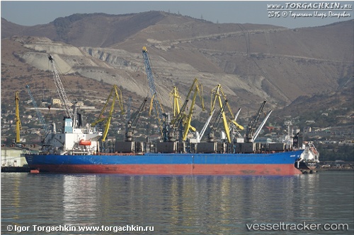
 CAN YUCEL
Current Status
Where is the vessel?
CAN YUCEL is currently in 12 nm NE of RUMELI FENERI, based on AIS data received less than 1h ago.
Latest AIS update:
Current position: 41.37642° N, 29.30372° E (12 nm NE of RUMELI FENERI)
Average speed (last 7 days): Loading…
Average speed (last 30 days): Loading…
Vessel profile: CAN YUCEL is a Bulk Carrier with dimensions 180m x 31m.
This page combines live AIS, route history, probable destination signals, nearby traffic, and port activity for practical vessel monitoring.
The current position of vessel CAN YUCEL is 41.37642 lat / 29.30372 lng. Updated: 2026-05-17 15:42:58 UTCNearest reference points:
- 19 nm NE of RUMELI FENERI
- Near RUMELI FENERI
- Near Istinye/Istambul
Currently sailing under the flag of Liberia ![]()
CAN YUCEL built in 1995 year
Deadweight:
38852 tDetails:
Live Vessel CAN YUCEL Analytics (details, animations, etc.)
Recent AIS points (UTC):
2026-05-17 12:13:29 UTC · 41.41610, 29.38560 · SOG 0.3 kn · COG 239°2026-05-17 13:46:39 UTC · 41.41639, 29.39883 · SOG 0.3 kn · COG 233°
2026-05-17 14:04:59 UTC · 41.41692, 29.40137 · SOG 0.4 kn · COG 231°
2026-05-17 15:42:58 UTC · 41.37642, 29.30372 · SOG 8 kn · COG 241°