 vesseltracker.com
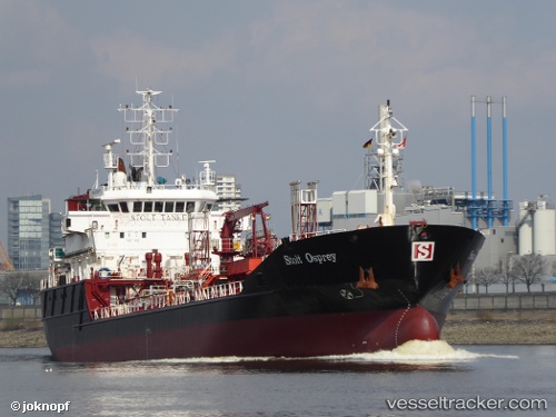
 THEIA
THEIA
Current Status
Where is the vessel?
THEIA is currently in Near Rieme, based on AIS data received less than 1h ago.
Latest AIS update:
Current position: 51.16466° N, 3.78276° E (Near Rieme)
Average speed (last 7 days): Loading…
Average speed (last 30 days): Loading…
Vessel profile: THEIA is a Oil/Chemical Tanker with dimensions m x m.
This page combines live AIS, route history, probable destination signals, nearby traffic, and port activity for practical vessel monitoring.
The current position of vessel THEIA is 51.16466 lat / 3.78276 lng. Updated: 2026-05-17 23:23:28 UTCNearest reference points:
- Near Rieme
- Near Oostakker
- Near SLUISKIL
Currently sailing under the flag of Sierra Leone ![]()
Details:
Live Vessel THEIA Analytics (details, animations, etc.)
Recent AIS points (UTC):
2026-05-17 20:08:26 UTC · 51.16470, 3.78277 · SOG 0 kn · COG 77°2026-05-17 21:41:27 UTC · 51.16472, 3.78274 · SOG 0 kn · COG 77°
2026-05-17 22:41:27 UTC · 51.16465, 3.78275 · SOG 0 kn · COG 77°
2026-05-17 23:23:28 UTC · 51.16466, 3.78276 · SOG 0 kn · COG 76°