 vesseltracker.com
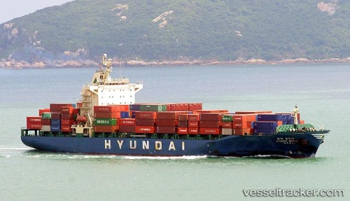
Bridge
Current StatusWhere is the vessel?
Bridge is currently in 45 nm E of KIJANG, based on AIS data received about 1h ago.
Latest AIS update:
Current position: 0.89231° N, 105.36312° E (45 nm E of KIJANG)
Average speed (last 7 days): Loading…
Average speed (last 30 days): Loading…
Vessel profile: Bridge is a Container Ship with dimensions 30m x 182m.
This page combines live AIS, route history, probable destination signals, nearby traffic, and port activity for practical vessel monitoring.
The current position of vessel Bridge is 0.89231 lat / 105.36312 lng. Updated: 2026-05-17 17:38:54 UTCNearest reference points:
- 38 nm E of PENGERANG
- 76 nm NE of KIJANG
- 47 nm NE of PENGERANG
Details:
Live Vessel Bridge Analytics (details, animations, etc.)
Recent AIS points (UTC):
2026-05-17 15:58:42 UTC · 1.25444, 104.99016 · SOG 18.8 kn · COG 129°2026-05-17 16:15:06 UTC · 1.19723, 105.05358 · SOG 18.7 kn · COG 135°
2026-05-17 17:38:54 UTC · 0.89231, 105.36312 · SOG 18.6 kn · COG 138°
2026-05-17 17:38:54 UTC · 0.89231, 105.36312 · SOG 18.6 kn · COG 138°