 vesseltracker.com
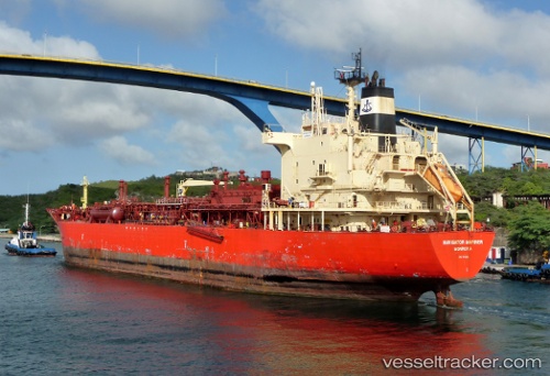
 GAS NUSA
Current Status
Where is the vessel?
GAS NUSA is currently in 110 nm SE of MEKAR PUTIH, based on AIS data received about 4h ago.
Latest AIS update:
Current position: 5.48878° S, 117.13905° E (110 nm SE of MEKAR PUTIH)
Average speed (last 7 days): Loading…
Average speed (last 30 days): Loading…
Vessel profile: GAS NUSA is a Lpg Tanker with dimensions m x m.
This page combines live AIS, route history, probable destination signals, nearby traffic, and port activity for practical vessel monitoring.
The current position of vessel GAS NUSA is -5.48878 lat / 117.13905 lng. Updated: 2026-05-18 02:18:15 UTCNearest reference points:
- 117 nm W of Panakukang
- 74 nm NE of Pagerungan
- 70 nm S of MEKAR PUTIH
Currently sailing under the flag of Indonesia ![]()
Details:
Live Vessel GAS NUSA Analytics (details, animations, etc.)
Recent AIS points (UTC):
2026-05-17 18:02:46 UTC · -6.18579, 115.87661 · SOG 11.8 kn · COG -1°2026-05-18 02:18:15 UTC · -5.48878, 117.13905 · SOG 12.1 kn · COG -1°
2026-05-18 02:18:15 UTC · -5.48878, 117.13905 · SOG 12.1 kn · COG -1°
2026-05-18 02:18:15 UTC · -5.48878, 117.13905 · SOG 12.1 kn · COG -1°