 vesseltracker.com
 TRACKHOUND
Current Status
Where is the vessel?
TRACKHOUND is currently in 13 nm S of Kumport, based on AIS data received less than 1h ago.
Latest AIS update:
Current position: 40.73787° N, 28.88272° E (13 nm S of Kumport)
Average speed (last 7 days): Loading…
Average speed (last 30 days): Loading…
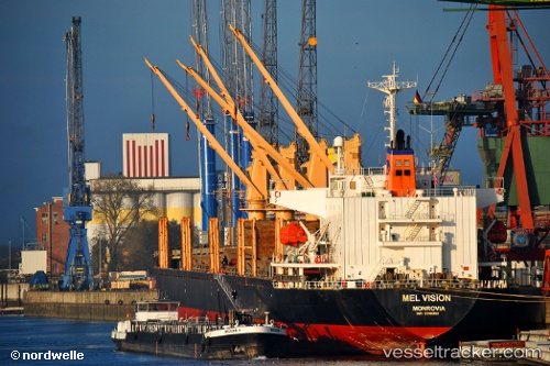
Vessel profile: TRACKHOUND is a Bulk Carrier with dimensions m x m.
This page combines live AIS, route history, probable destination signals, nearby traffic, and port activity for practical vessel monitoring.
The current position of vessel TRACKHOUND is 40.73787 lat / 28.88272 lng. Updated: 2026-05-17 07:22:07 UTCNearest reference points:
- 17 nm S of Kumport
- 10 nm SE of Kumport
- Near Kumport
Currently sailing under the flag of Barbados ![]()
Details:
Live Vessel TRACKHOUND Analytics (details, animations, etc.)
Recent AIS points (UTC):
2026-05-17 04:21:55 UTC · 40.72321, 28.85216 · SOG 0.6 kn · COG 310°2026-05-17 04:31:36 UTC · 40.72343, 28.85411 · SOG 0.6 kn · COG 316°
2026-05-17 06:20:36 UTC · 40.73154, 28.87147 · SOG 0.5 kn · COG 304°
2026-05-17 07:22:07 UTC · 40.73787, 28.88272 · SOG 0.7 kn · COG 299°